 Tajikistan is a country located in Central Asia, with an absolute geographical position between 36° and 41° north latitude and 67° and 75° east longitude. It is bordered to the north by Kazakhstan, to the west by Uzbekistan, to the south by Afghanistan, and to the east by China.
Tajikistan was established as an independent republic on September 9, 1991, following the dissolution of the Soviet Union. Since then, it has undergone significant changes both politically and socioeconomically.

In terms of population, Tajikistan has approximately 9.5 million inhabitants. Various ethnic groups make up its population, with Tajiks being the majority ethnic group, followed by Uzbeks and Russians, among others. The shape of state of Tajikistan is landlocked as it doesn't have direct access to the sea. The country stretches for about 700 kilometers from north to south and about 350 kilometers from east to west.
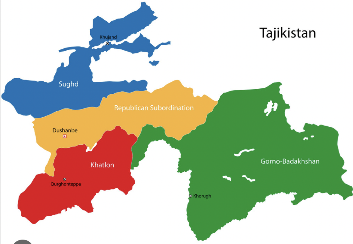
On the political map, one can identify the administrative boundaries and territorial divisions of Tajikistan, which include its provinces and districts. This provides insight into the political organization of the country.

The physical map of Tajikistan shows its mountainous relief, as much of its territory is dominated by the Pamir Range and the Tian Shan Mountains. It also highlights the fertile valleys that cross the country, such as the Fergana Valley and the Zeravshan Valley. Tajikistan is known for its mineral deposits, such as gold, silver, and coal, as well as for its hydroelectric potential, with numerous rivers flowing through its territory.
Comments
Post a Comment